YUSIIP: How does it work?
An urban scene where reliable data would be stored in interoperable business information systems for more accessible information. This is the mission of the Platform for the Integration and Interoperability of Yaoundé’s Urban Information Systems (YUSIIP).
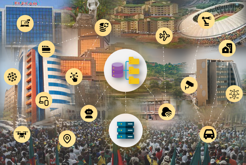
YUSIIP is therefore a digital platform that gathers information from multiple, heterogeneous sources in a data warehouse. It is managed by the Private Agency for the Promotion of Urban Planning and Information Technology (APPUI). Its objectives are to:
- Centralize thematic data, statistics and indicators on urban development and planning.
- Provide a very wide audience, including everyone concerned by the city and the development of Decentralized Local Authorities (CTD), with concise and up-to-date information.
- Follow the news (events, standards, statistics, discoveries, innovation, features, research results, etc.) and opportunities (agenda, announcements, studies, markets, etc.) of the urban sector.
- Inform internet users about major urban projects and urban innovations.
- Offer an Electronic Directory for Access to Urban Data (READU) that lists the existing sources of relevant data, in order to maximize access to them and to spare current and potential urban stakeholders from redoing the same work or searching for information already available elsewhere.
- Share data of general interest from public and private actors, and unite their efforts in data management, co-production and/or co-construction of the city.
- Release data under good conditions so that it can be reused.
The platform provides useful information, data and statistics grouped by major themes:
Urban planning
Urban stakeholders, Quality of life, Trade, Culture, Demography, Economy, Education and Training, Employment, Facilities, City-making, Land, Housing, Industry, Infrastructure, Dwellings, Mobility and Transport, Mobility, Digital, Heritage, Urban policy, Urban renewal, Resources and Agriculture, Urban risks, Health, Sport, Tourism and Leisure, Urbanization, Roads and utilities, etc.;
Regional planning
CTD, Decentralization, Sustainable development, Local and regional development, Opening up peripheral areas, Local finance, Public governance, Municipalities, Planning and Regulation, Regional planning policy, Planning projects, Zoning and Land use, etc.;
Environment
Sanitation, Biodiversity, Climate and resilience, Ecology, Green economy, Circular economy, Waste management, Water management, Energy management, Environmental governance, Urban landscape, PNGE, Environmental protection, Pollution, etc.
YUSIIP is a collaborative, evolving and open project
- Collaborative, because the selection of key figures is made in collaboration with public administrations, public and private bodies, companies, CTD, NGOs, associations and other development partners;
- Evolving, because with each version, new indicators, themes, partners and features are added;
- Open, because it is aimed at everyone (citizens, public administrations, public and private bodies, local elected officials, decision-makers, scientists, media, etc.) and offers products that meet their different needs (tables and charts for visualization and comparison, metadata for understanding, etc.). Open also because most of the tools used are free (“Open Source”) and the data is available in machine-readable format.
Finally, YUSIIP aims to provide a data centralization and monitoring tool for tracking and comparing the evolution of data, and of the phenomena they reflect, across space and time. A complete catalog of indicators and online help are available to the user.
Other information provided by the YUSIIP platform
Added to this are specific coverages: the municipalities (urban community, urban district councils, and councils of the departments surrounding the Mfoundi department, whose chief town is Yaoundé: Lekié, Mefou-et-Afamba and Mefou-et-Akono) making up “Greater Yaoundé”, the digital landscape of local authorities, urban and territorial stakeholders, key figures, as well as expert contributions through professional clubs such as Local Finance, Decentralization, Local Development, Technicity, Data Gateways, etc.
The main visible changes of the new YUSIIP platform concern its richer home page, which showcases more articles and content, enriched and more organized by theme. Data, statistics and other indicators can be viewed at several levels of aggregation (neighborhood, zone, municipality, etc.) and over several time periods. These spatial and temporal levels are selected by the user beforehand. After selection, the corresponding charts, tables and details are updated automatically.